Flight Showcase: Drone Demo
Versatile Drone Control
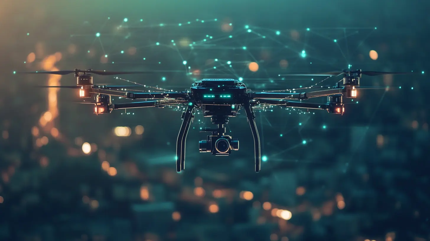
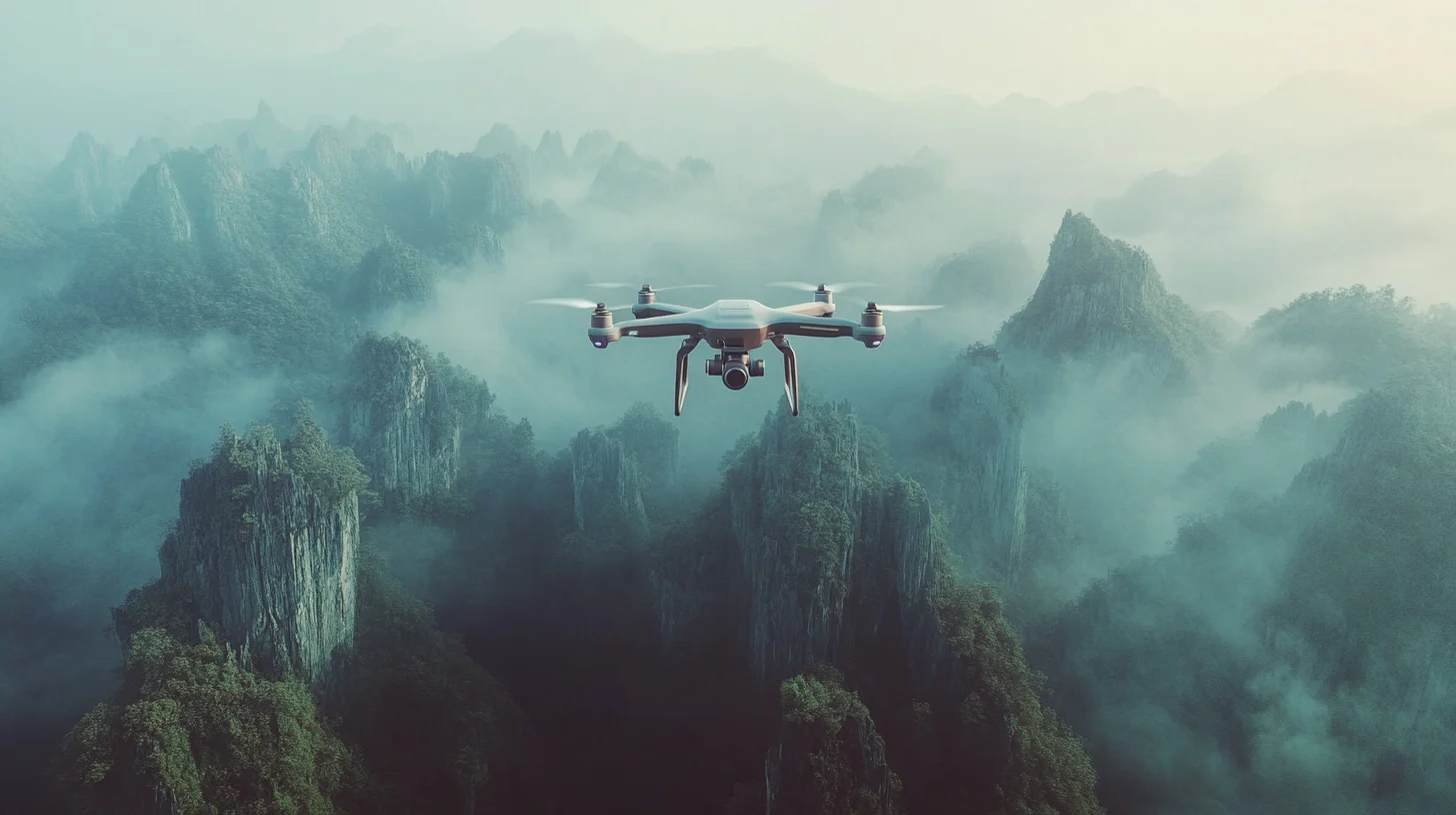
Flight Showcase: Drone Demo highlights the adaptability of app-controlled drones, offering an intuitive and accessible solution for hobbyists, photographers, and professionals. Featuring advanced functionalities such as GPS navigation, automated flight paths, and real-time data streaming, these drones provide unparalleled control directly from a smartphone or tablet. Whether capturing cinematic aerial shots, conducting land surveys, or performing infrastructure inspections, users can achieve precise and efficient operations with ease.
Efficiency and Cost-Effectiveness
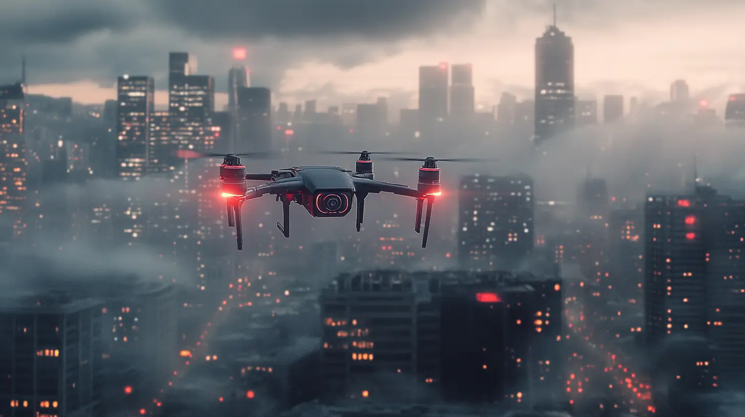
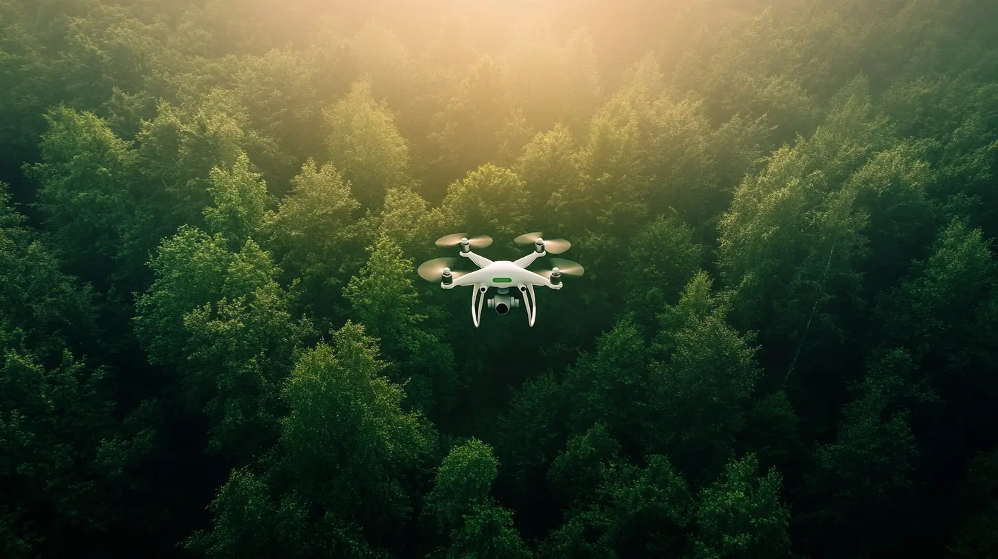
Drones equipped with app-based control systems redefine efficiency across multiple industries. From rapid emergency response in search and rescue missions to detailed environmental monitoring, these drones significantly reduce operational costs while enhancing data accuracy. Their automated flight capabilities minimize human intervention, enabling cost-effective and scalable solutions for industries such as agriculture, construction, and public safety.
Revolutionizing Aerial Operations
The video demonstrates how app-controlled drones are reshaping modern aerial operations. By merging ease of use with high-end technological advancements, they enhance the potential for professional-grade imagery, precise surveying, and complex logistical tasks. From recreational drone enthusiasts to commercial enterprises, these drones unlock new possibilities in aerial exploration and automation.
Performance Statistics & Impact
- 30% increase in efficiency for infrastructure inspections compared to traditional methods.
- 50% reduction in operational costs for surveying and mapping industries.
- Over 80% of professionals in real estate and agriculture integrate drone technology for improved data collection.
- 4K ultra-HD cameras and AI stabilization ensure high-quality aerial imaging for various applications.
This case study underscores the transformative impact of app-controlled drones, making high-precision aerial operations more accessible and effective than ever before.
TEAM:
- Front-End developers
- Back-End developers
- Project manager
- QA engineers
- Content architect
STACK:
- TensorFlow
- OpenCV
- PyTorch
- Convolutional Neural Networks (CNN)
- NLP
- Google Cloud
TIMINGS:
- 8 months